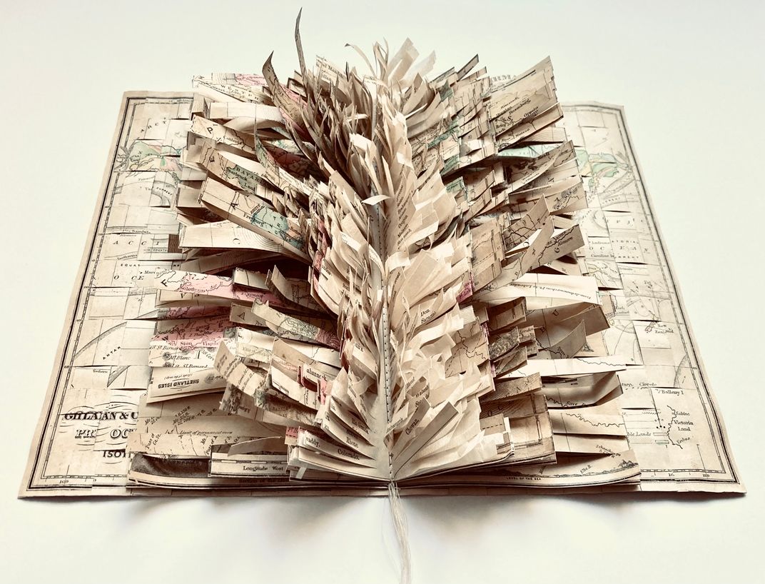
thread, rice paper, maps: McNally’s System of Geography, 1868
16 x 20 x 3″
In Wanderlust I, maps from geography books published in 1868 are cut and recombined. The carefully charted topographies, geographies, boundaries and coordinates are physically sliced, sewn, woven and layered – ultimately transformed and inviting new explorations. Layering the paper intuitively, responding to the existing cartographic renderings, allows for new territories to form. A unique perspective of mapping the world is depicted utilizing the antique materials.
In the geography books from the 1800’s the observations of the world provides a record of our long held fascination and curiosity for lands beyond. That drive to search for understanding continues to capture our imaginations.
Additional shipping/delivery charges will be handled between artist and buyer after the purchase.


